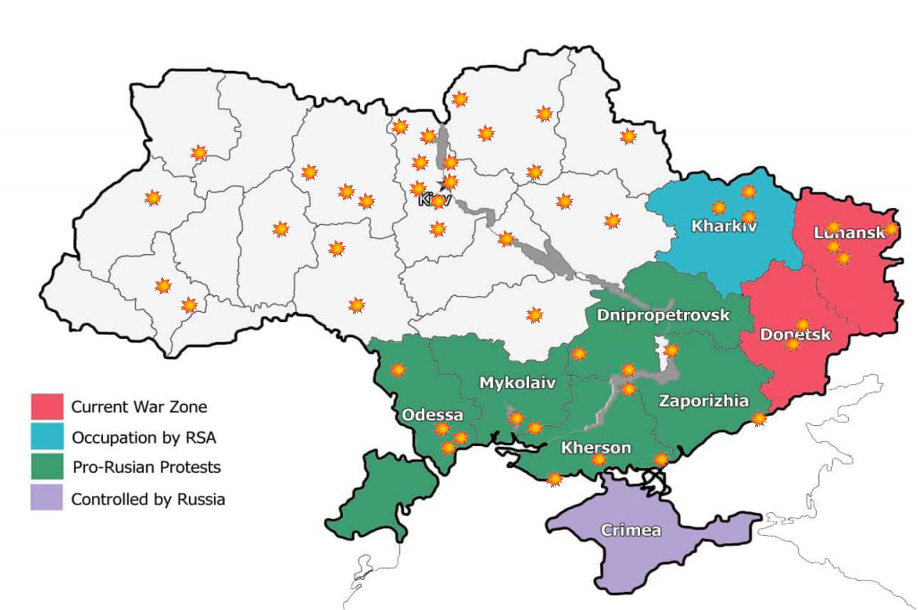
Russian Attack on Ukraine 2022
Below we have an image showing where the initial attack by the aggressive Russian forces on the Ukraine in march 2022. Experts were expecting Russia to only attack the disputed regions of Donetsk and Luhansk. this appears to be incorrect information as the Russian forces have fired artillery shells all over the Ukraine.
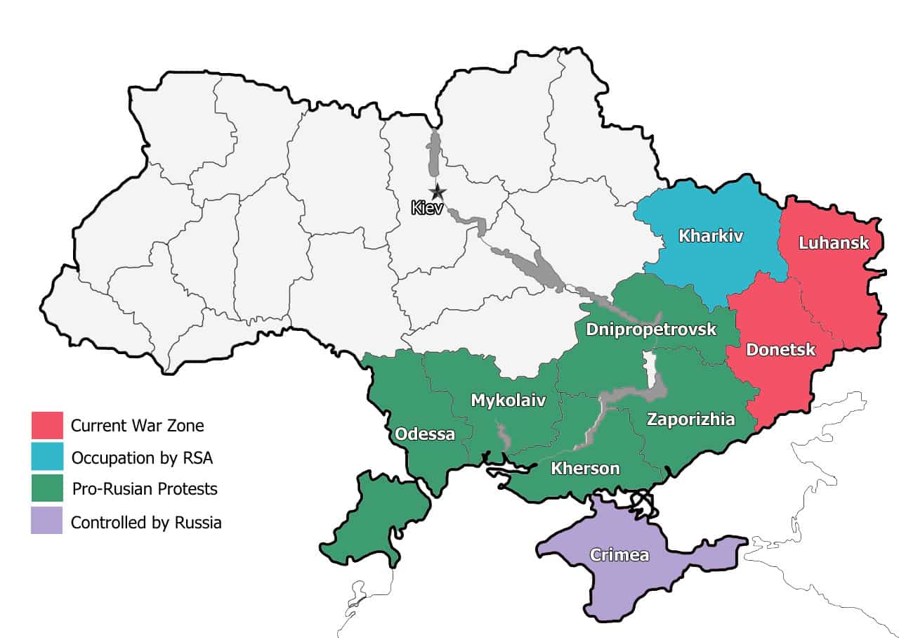
Map of the Ukraine War
Above is a map of the contested regions within Ukraine as of August 2014. This is the second in a series of maps about the war in the Ukraine. The first being about the downing of flight MH13 and where it happened. While we hope that all issues are worked and that the fighting stops, if it doesn’t we will continue to publish updated maps of where the war has spread to. If indeed it does spread.
The Ukraine is subdivided into 24 Oblasts (provinces), most of which have not seen any fighting or unrest. The Oblasts that have seen unrest are as follows :
- The mauve province is the Crimea, which has already been annexed by Russia and is considered Russian territory, although this situation has not been recognized by most of the nations of the UN.
- The green provinces have seen pro-Russian protests but relatively little or no fighting. These provinces are Odessa, Mykolaiv, Kherson, Dnipropetrovsk and Zaporizhia.
- The blue province is Kharkiv and this is a special region that has been occupied by the Regional State Administration or RSA. Effectively this equates to governor of Texas taking complete control of the state and not being beholden in anyway to Washington. This is a matter that still needs to be resolved.
- The red provinces of Donetsk and Luhansk are the ones that have seen the most intensive fighting. Thousands of people have been killed in these regions and there looks like no end to the hostilities, at least not in the near future. Donetsk is also the province that the ill-fated flight MH17 flying over when it was shot down by surface to air missiles.