
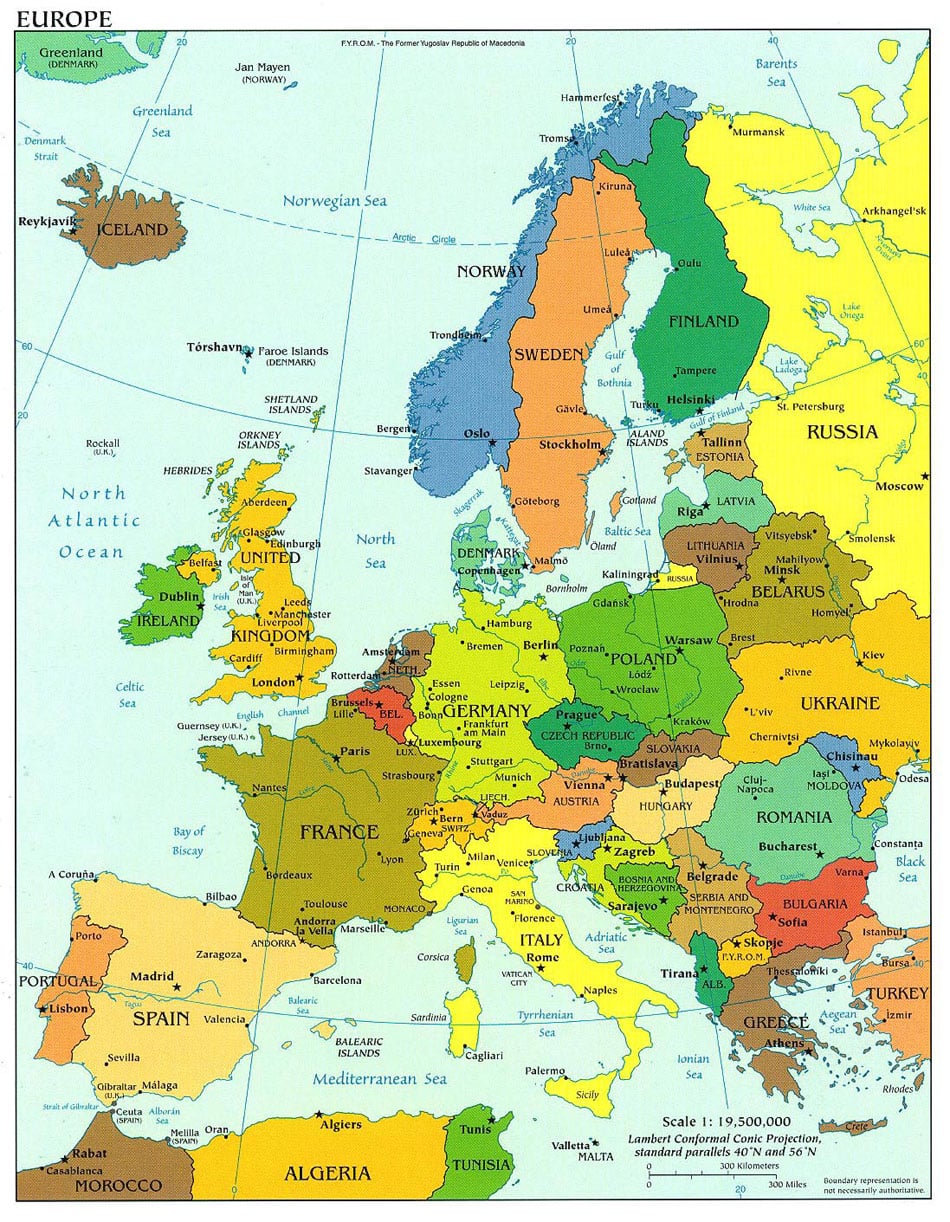
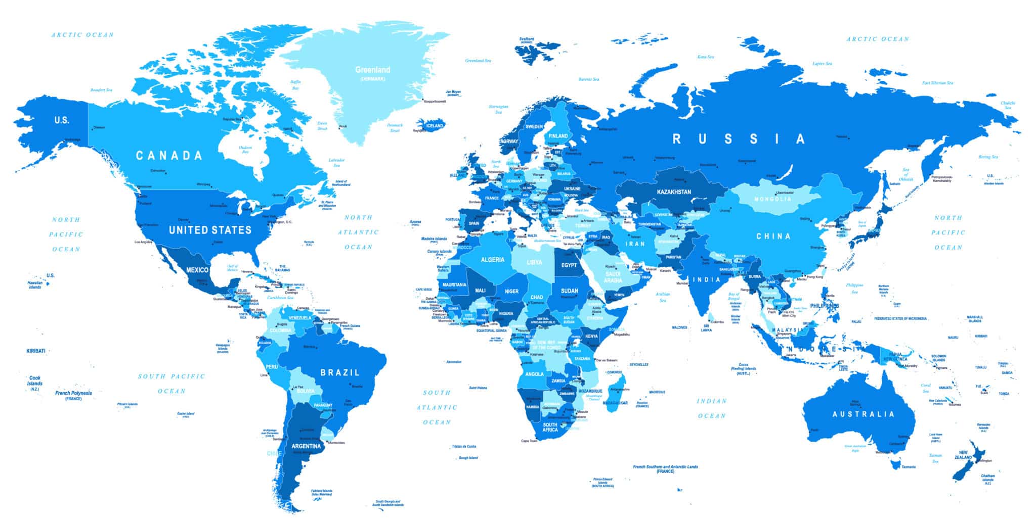
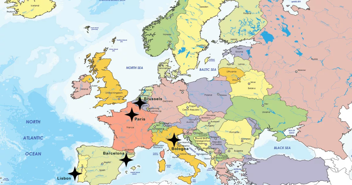
Europe Map 2025
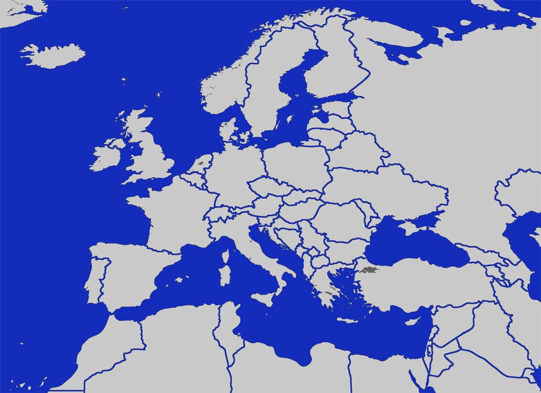
Europe is a continent rich in history, diverse cultures, and varied geography. Spanning from the Atlantic Ocean in the west to the Ural Mountains in the east, Europe is home to over 40 countries, each with its unique identity. Understanding Europe’s political and physical geography is essential for travelers, historians, and anyone with an interest in global affairs. This article provides a detailed look at Europe’s maps, covering political boundaries, regional divisions, and physical geography, while incorporating interactive and thematic maps for a deeper understanding.
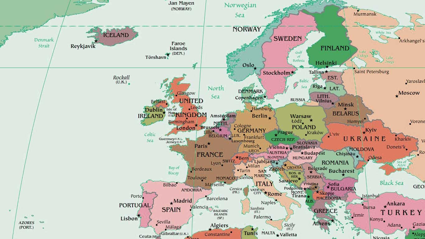
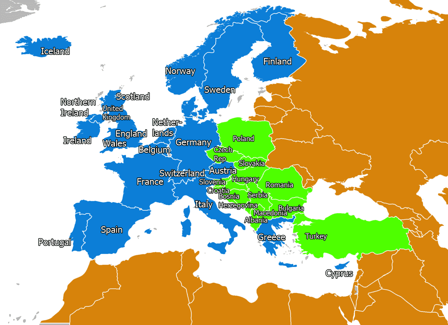
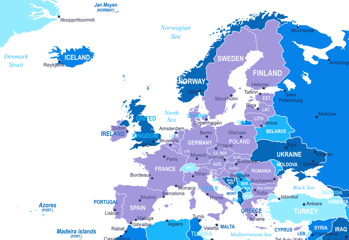
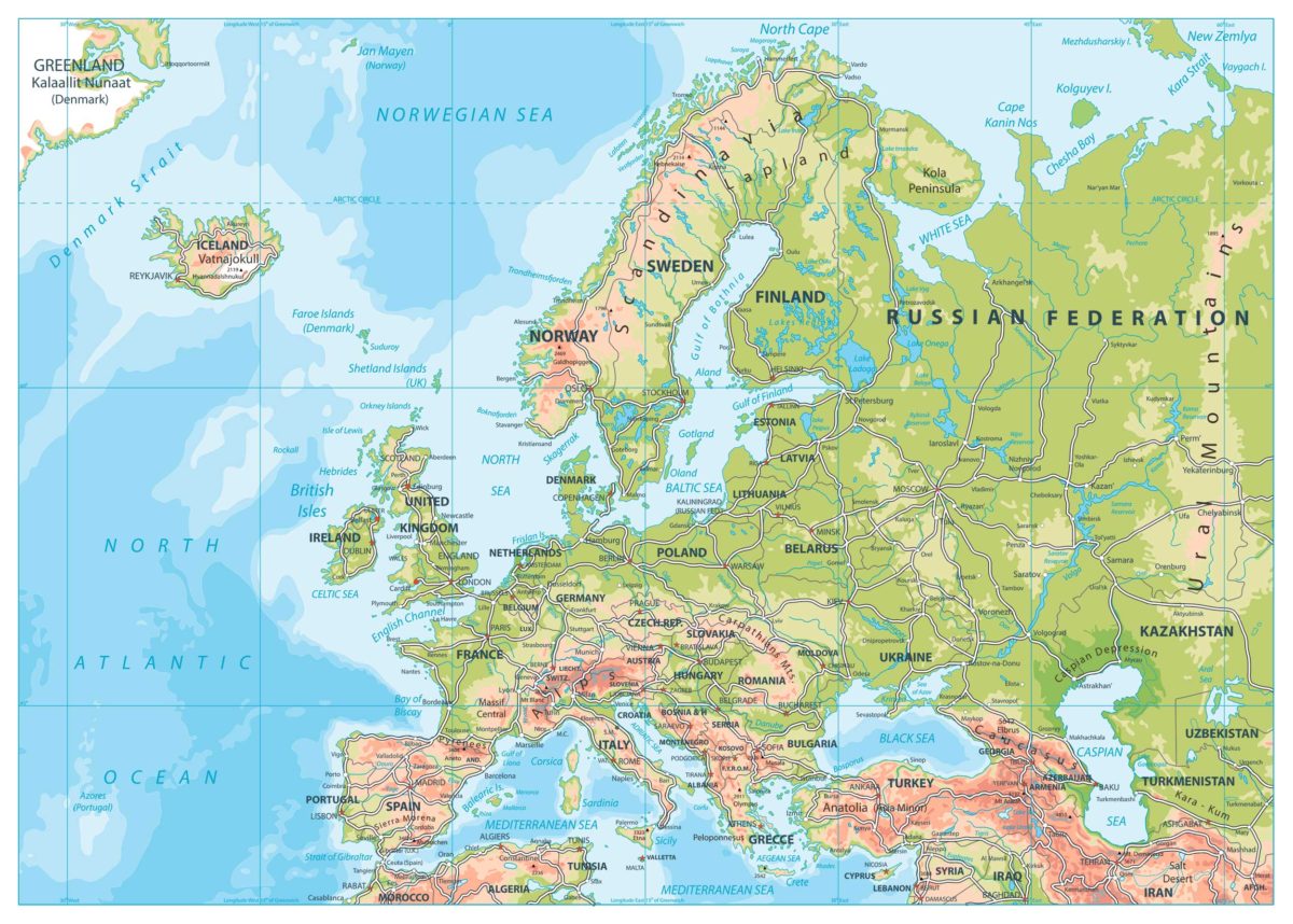
Comprehensive Political Map of Europe
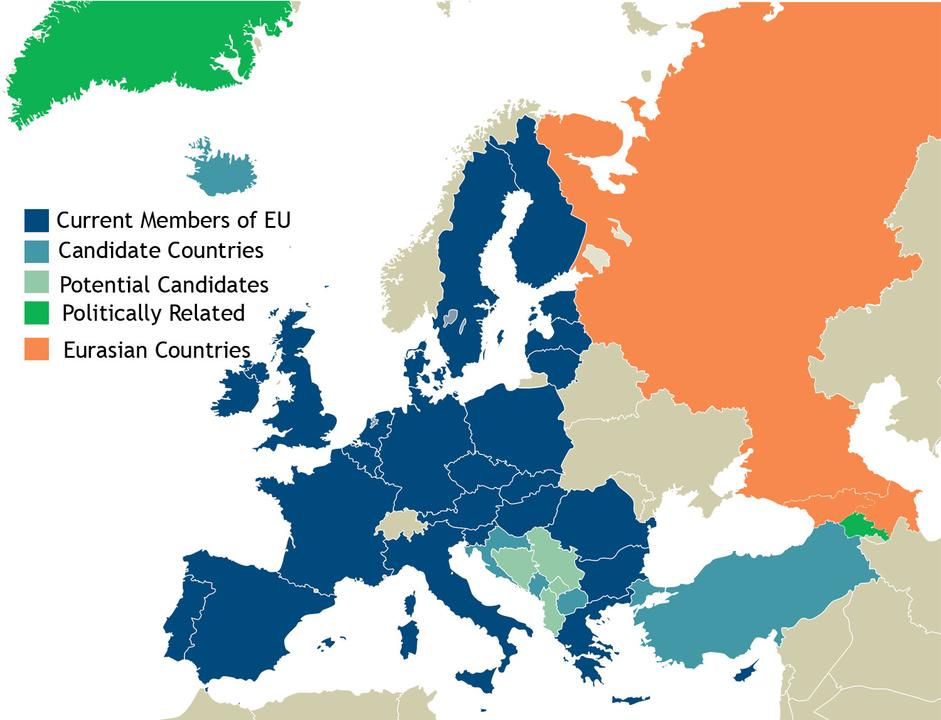
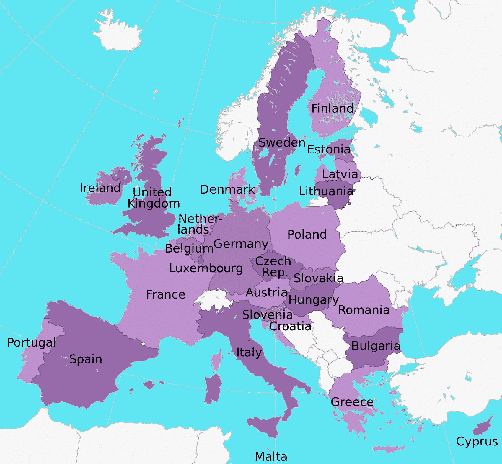
A political map of Europe is crucial for identifying the continent’s countries, major cities, and international borders. Europe has undergone significant changes over the centuries, from the shifting boundaries of empires to the establishment of modern nation-states. Today, the European Union plays a significant role in shaping political cooperation across the continent.
The political map of Europe highlights key features such as:
- Major countries including Germany, France, the UK, Italy, and Spain.
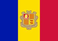
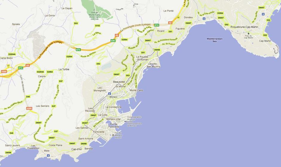
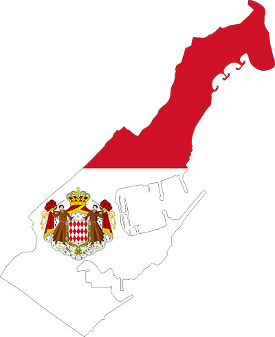
- Smaller states like Andorra, Liechtenstein, and Monaco.
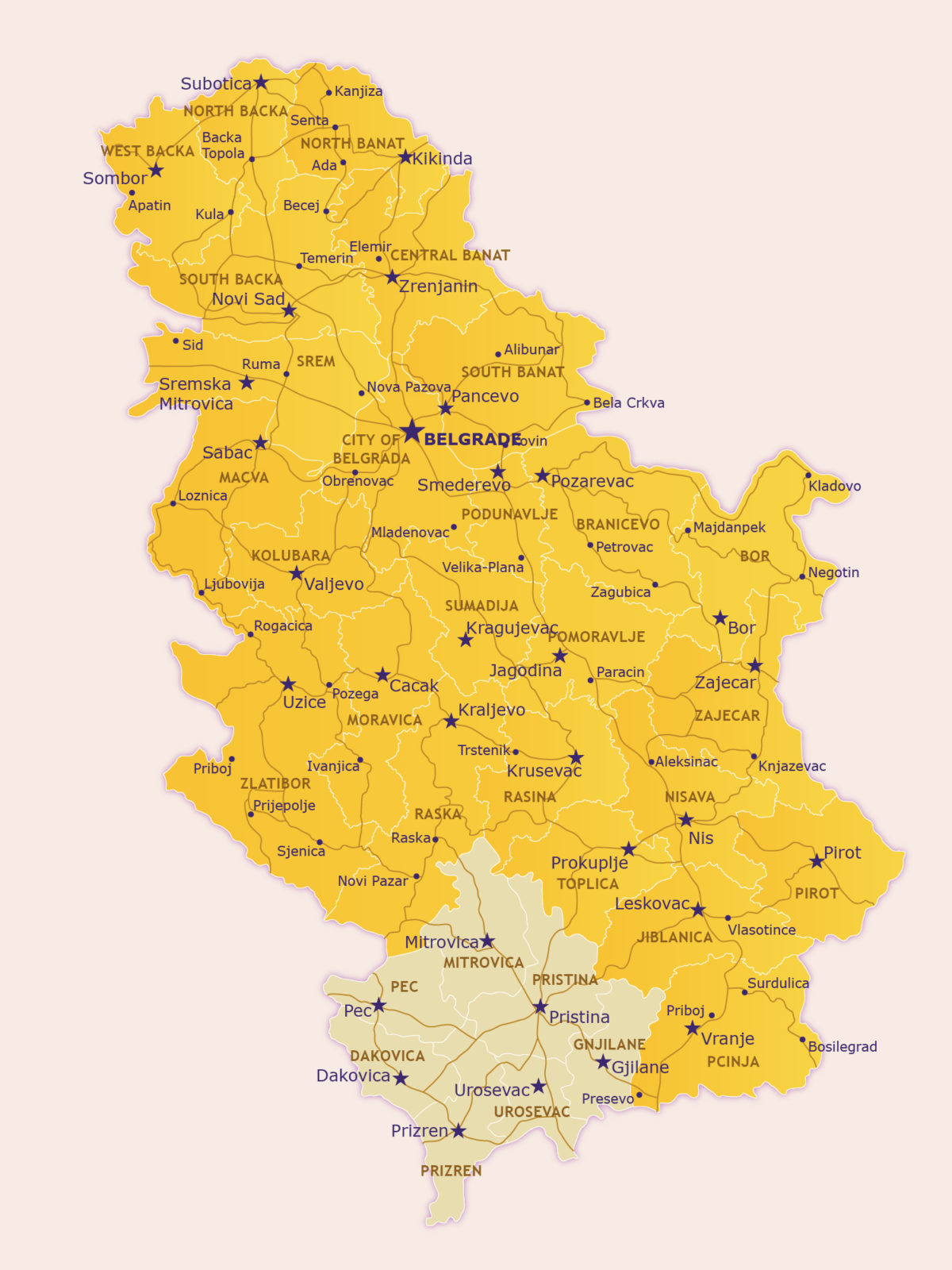
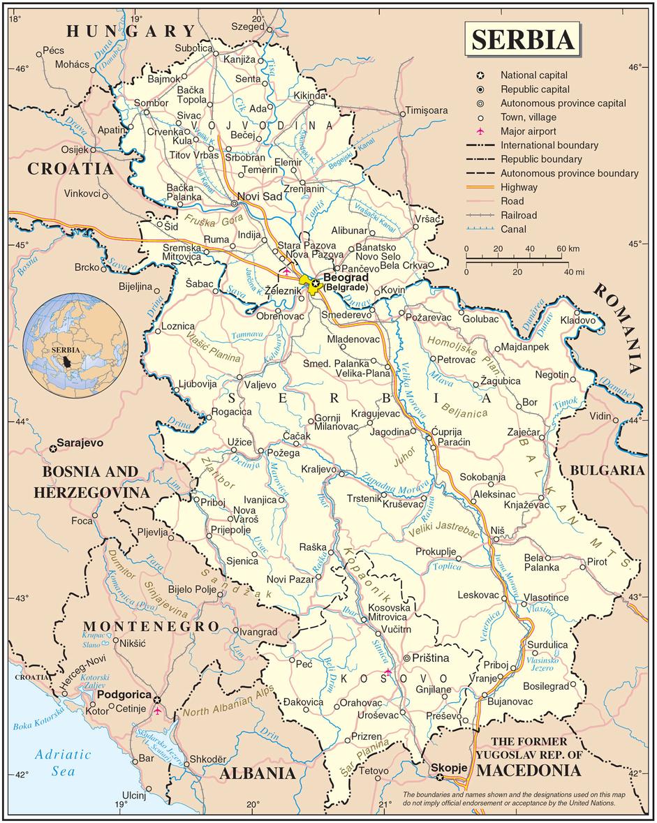
- Non-EU nations such as Switzerland, Norway, and Serbia.
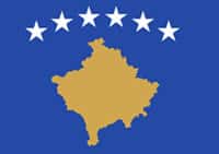
- Disputed territories like Kosovo and Transnistria.
Understanding these boundaries is essential for grasping Europe’s geopolitical landscape, trade relations, and travel logistics.

Click on the Europe Map above to get a larger more detailed view
Detailed Examination of European Regions
Europe can be divided into five major regions, each with distinct historical and cultural characteristics.
Western Europe
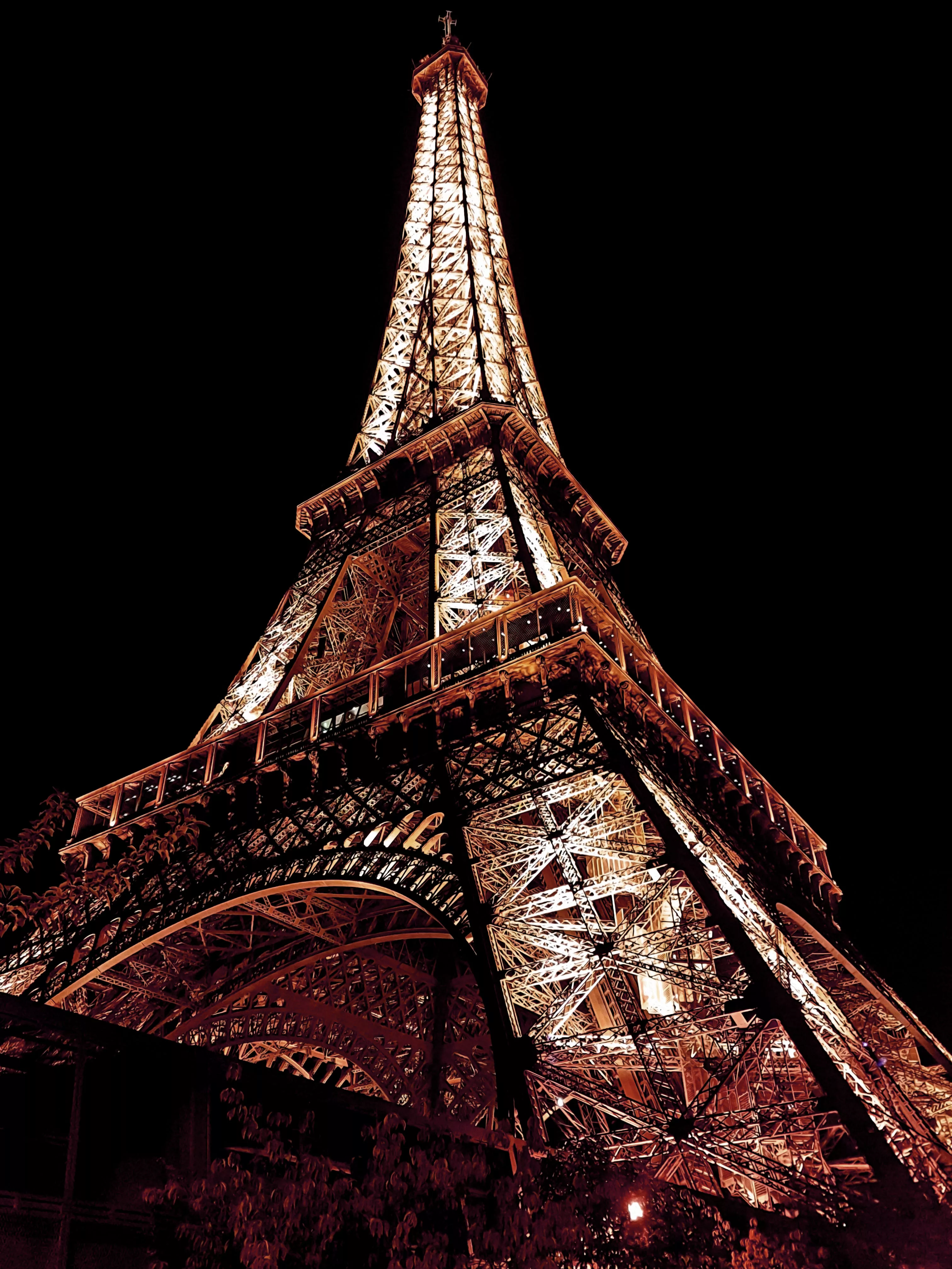
Western Europe includes countries like France, Germany, Belgium, and the Netherlands. This region is known for its economic powerhouses, cultural landmarks, and political influence. Cities such as Paris, Berlin, and Amsterdam serve as global centers for commerce, arts, and diplomacy.
Key Highlights:
- France’s role in the European Union and its influence on global politics.
- Germany’s economic strength and cultural heritage.
- The Netherlands’ innovative infrastructure and international trade networks.
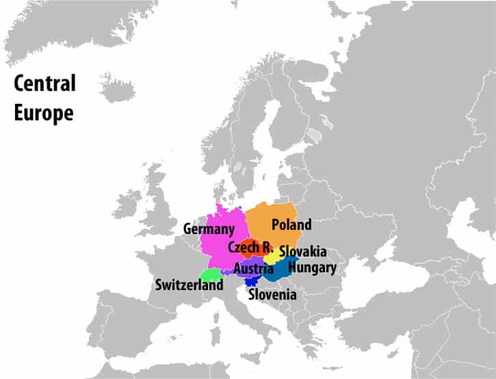
Central Europe
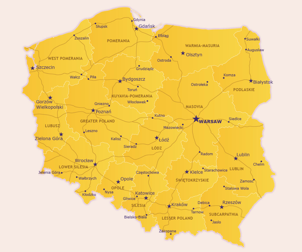
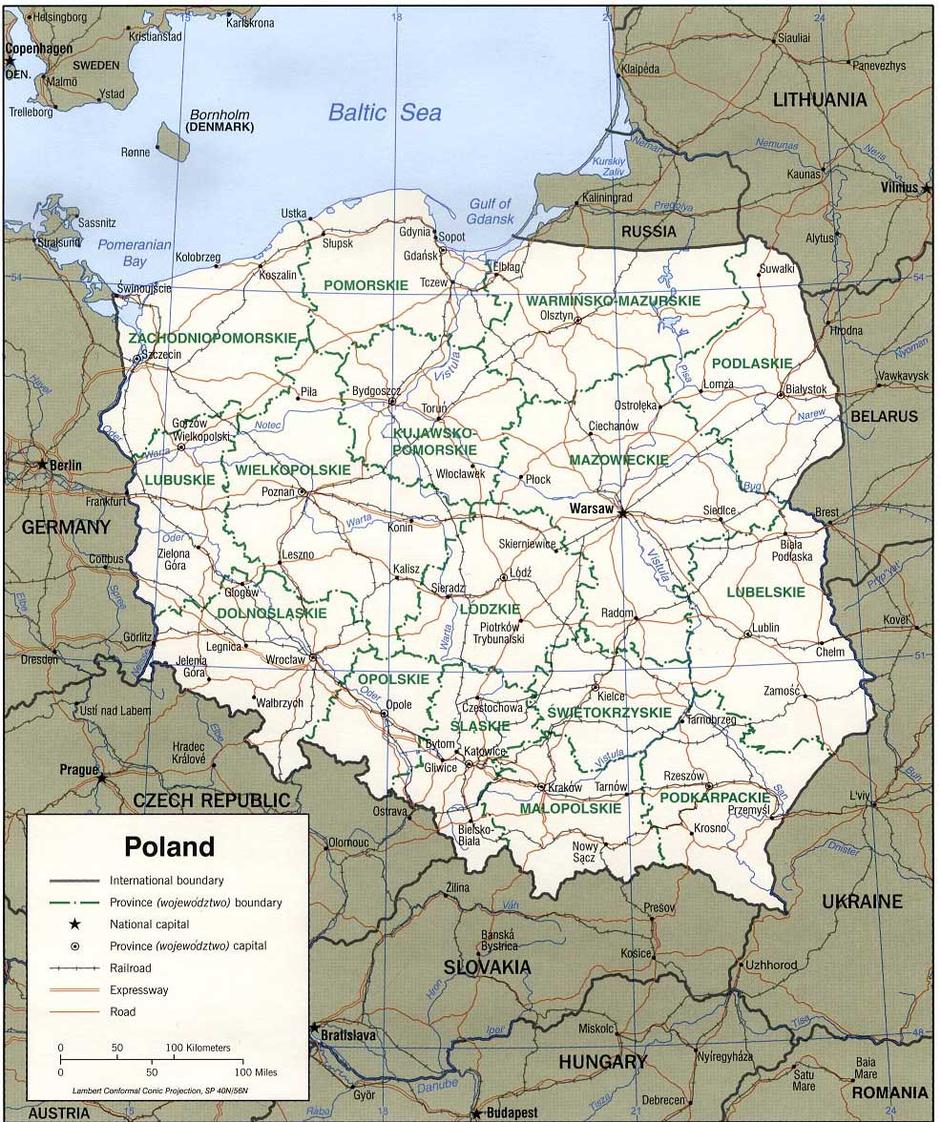
Central Europe, comprising Poland, the Czech Republic, Austria, and Hungary, has a rich history influenced by both Western and Eastern traditions. The region features medieval castles, UNESCO heritage sites, and picturesque landscapes.
Key Highlights:
- Poland’s historic cities like Warsaw and Kraków.
- The Czech Republic’s world-renowned architecture in Prague.
- Austria’s contribution to classical music and alpine tourism.
Eastern Europe
Eastern Europe includes Ukraine, Belarus, Moldova, and Russia’s European part. This region has a complex political history and vast landscapes, from the Carpathian Mountains to the expansive Russian plains.
Key Highlights:
- Ukraine’s cultural diversity and historic sites.
- Belarus’ Soviet-era architecture and modern developments.
- Russia’s European side, featuring Moscow and Saint Petersburg.
Northern Europe
Northern Europe consists of the Scandinavian countries (Norway, Sweden, and Denmark), the Baltic states (Estonia, Latvia, Lithuania), and Iceland. This region is known for its high quality of life, stunning natural landscapes, and progressive social policies.
Key Highlights:
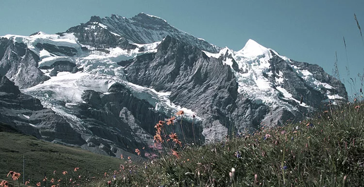
- Norway’s fjords and outdoor adventure tourism.
- Sweden’s technological innovations and green energy initiatives.
- The Baltic states’ rapid economic growth and historical influences.
Southern Europe
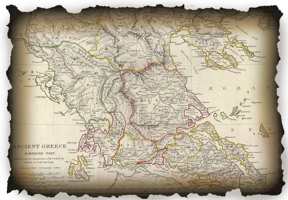
Southern Europe encompasses Spain, Portugal, Italy, Greece, and the Balkan Peninsula. This region is famous for its warm climate, Mediterranean culture, and ancient civilizations.
Key Highlights:
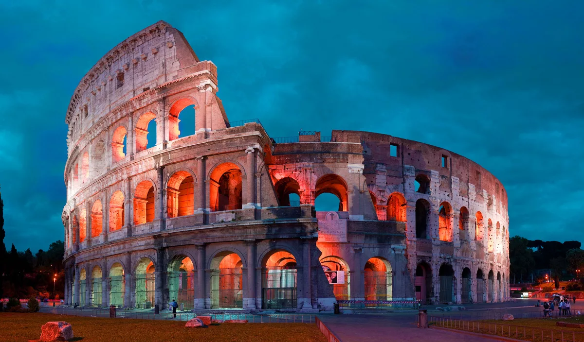
- Italy’s historical landmarks, including Rome’s Colosseum and Venice’s canals.
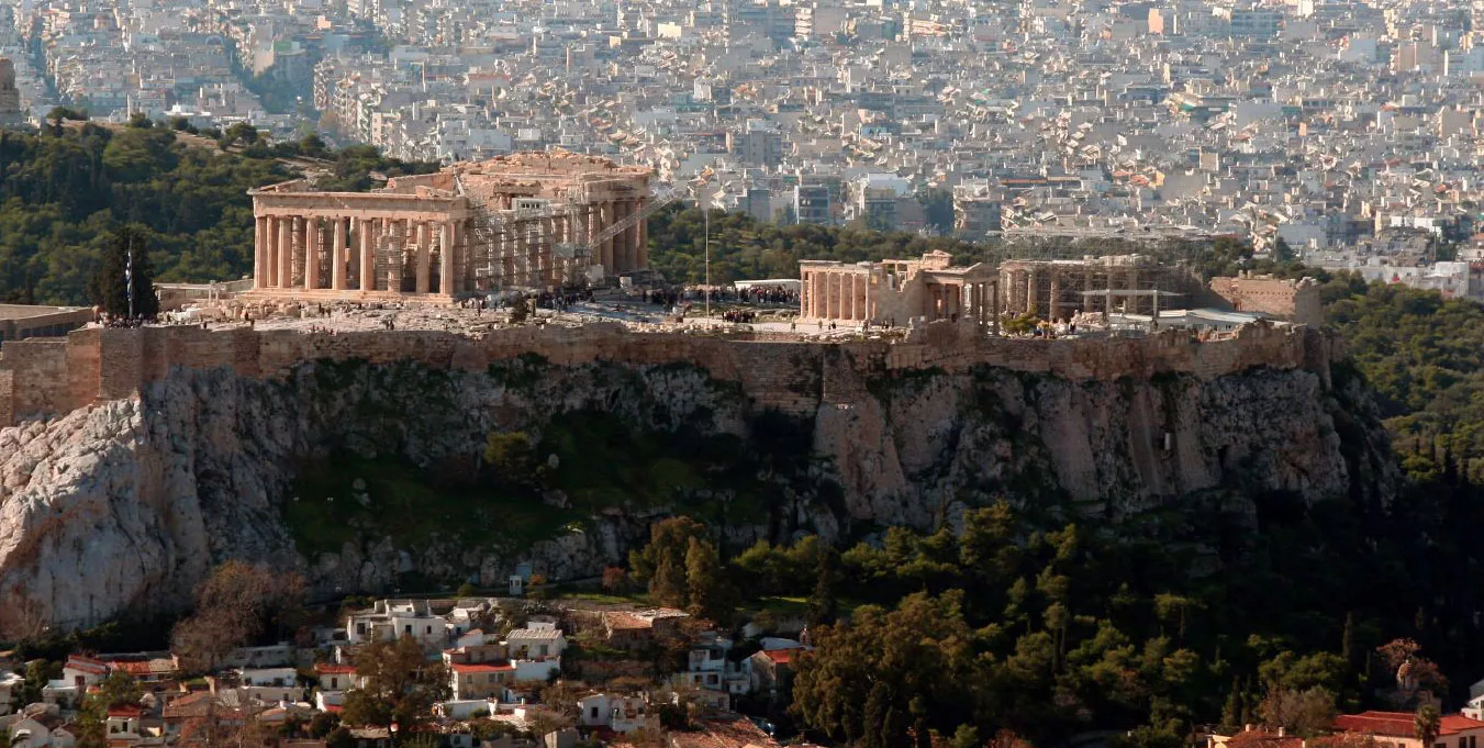
- Greece’s role as the cradle of Western civilization.
- Spain’s vibrant festivals and diverse landscapes.
Go here if you are looking for a world map for 2025 and beyond

Evolution of Europe’s Political Landscape
Europe’s political boundaries have shifted dramatically over centuries. Key historical events that have shaped the modern map include:
- The fall of the Roman Empire, leading to the formation of medieval kingdoms.
- The Treaty of Westphalia (1648), establishing the concept of sovereign states.
- The Napoleonic Wars, which redrew the borders of Europe in the early 19th century.
- World War I and II, which caused significant territorial changes and led to the establishment of new nations.
- The collapse of the Soviet Union, which resulted in the independence of several Eastern European countries in the 1990s.
Interactive maps allow users to explore these changes over time, providing insight into Europe’s dynamic history.
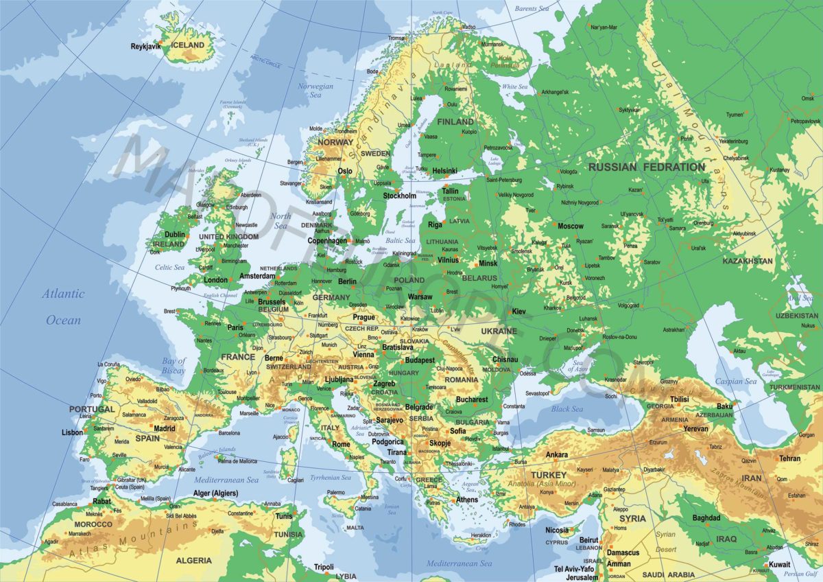
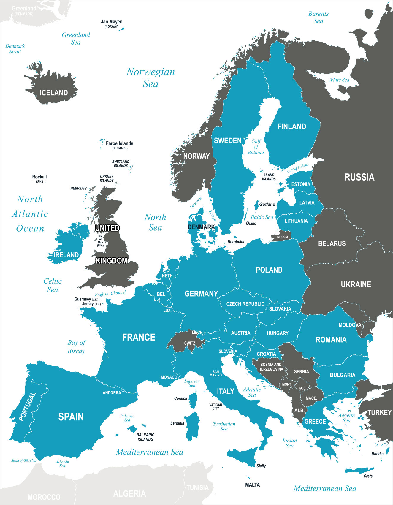
Physical Geography of Europe
A physical map of Europe highlights the continent’s mountains, rivers, and plains. Some of the most prominent geographical features include:
- Mountain Ranges: The Alps, Pyrenees, Carpathians, and Ural Mountains.
- Major Rivers: The Danube, Rhine, Volga, and Seine.
- Coastlines and Seas: The Mediterranean, Baltic, and North Seas, along with the Atlantic Ocean.
Europe’s geography has played a crucial role in its climate, agriculture, and human settlements. Countries like Switzerland benefit from their mountainous terrain for tourism, while the Netherlands has mastered water management due to its low-lying land.

Interactive and Thematic Maps
Advancements in digital mapping have made it easier than ever to explore Europe in detail. Thematic maps offer insights into various aspects of the continent, such as:
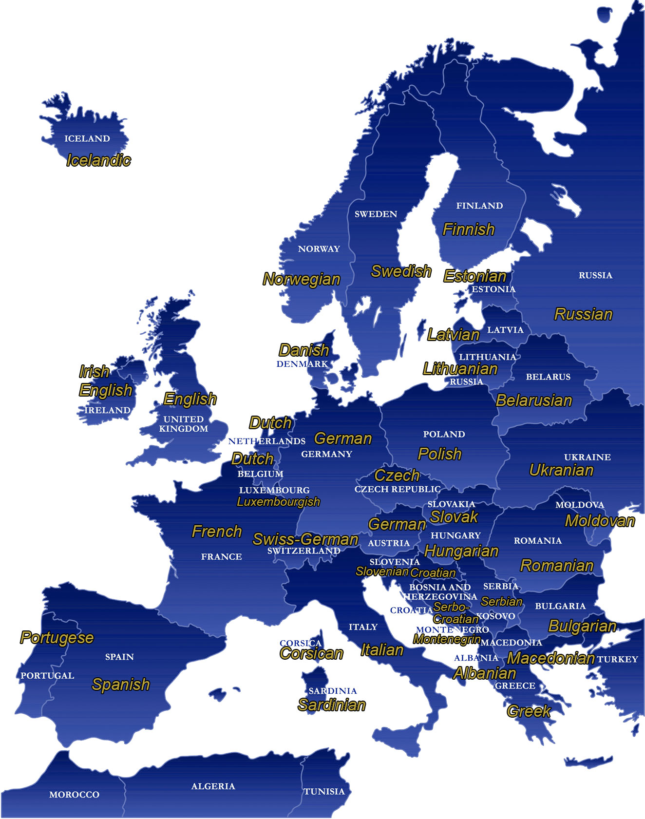
- Linguistic Maps: Showing the distribution of languages like English, French, German, and Slavic languages.
- Economic Maps: Highlighting GDP per capita, major industries, and trade routes.
- Demographic Maps: Displaying population density, urbanization trends, and migration patterns.
- Climate Maps: Illustrating temperature zones, rainfall distribution, and climate change effects.
Interactive maps provide users with real-time data and allow for personalized exploration, making them valuable tools for research and education.
Europe is a continent of remarkable diversity, both politically and geographically. By studying political and physical maps, one can gain a deeper understanding of how history, culture, and natural features have shaped the region. Whether you’re a traveller planning your next trip, a student researching geography, or simply a curious explorer, Europe’s maps offer endless opportunities for discovery. Explore interactive maps and thematic charts to engage with the continent in new and insightful ways.
What countries are in Europe?
There are a few definitions of Europe we can consider when answering this question. There is the EU (European Union) which is one definition of Europe but that is not encompassing enough for us. There are countries that Span both Europe and Asia like Russia which some want to put into Asia only. We do subscribe to this point of view either. Then there are countries like Georgia that aren’t transcontinental with Europe but are very European in the make up of the population and culture but are not officially part of Europe. Here at mapofeurope.com feel that all these countries should be given a chance to participate in the great experiment known as Europe. Below we have a comprehensive table of the countries that are within Europe.
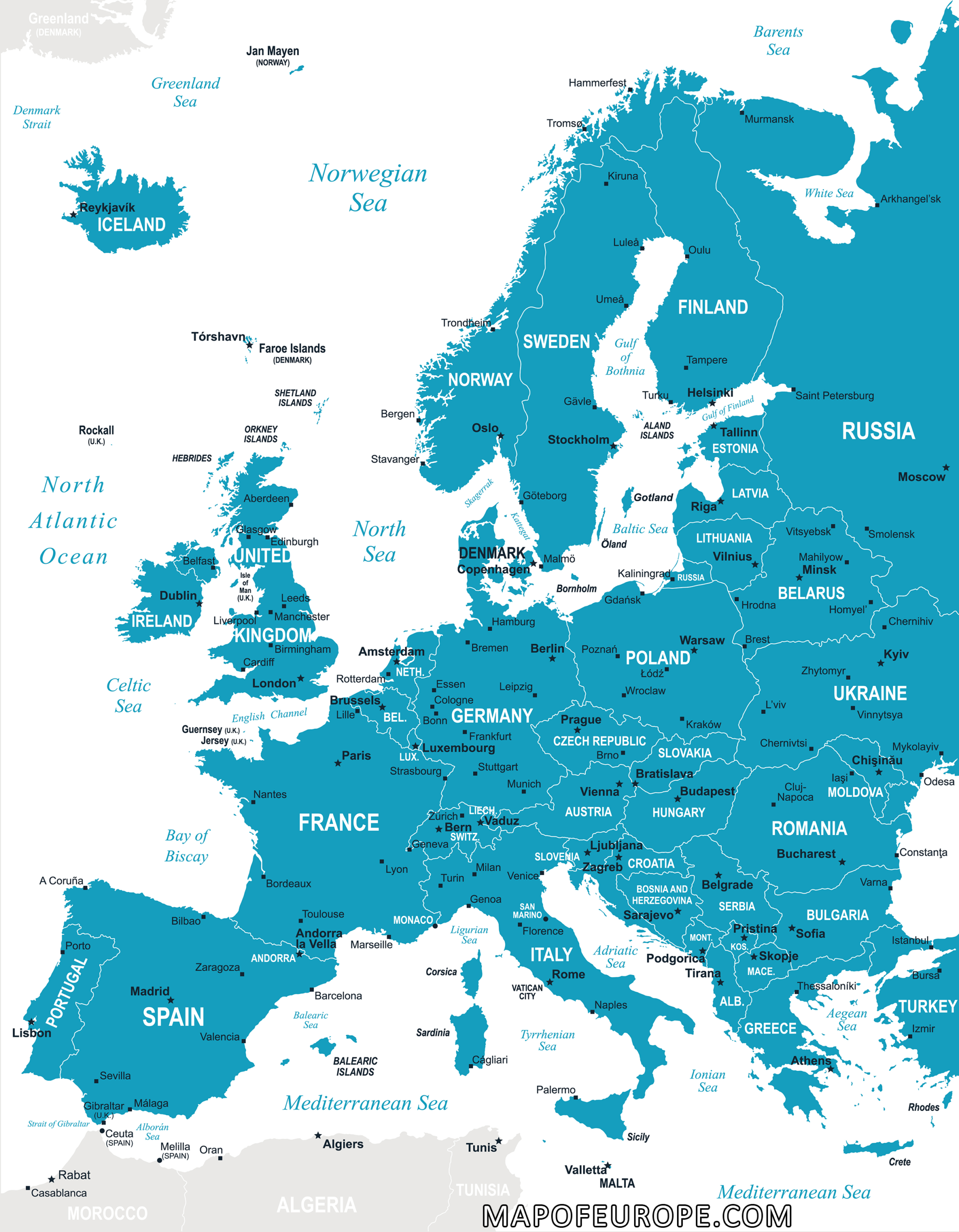
Map of Europe with Cities
| Country | Capital |
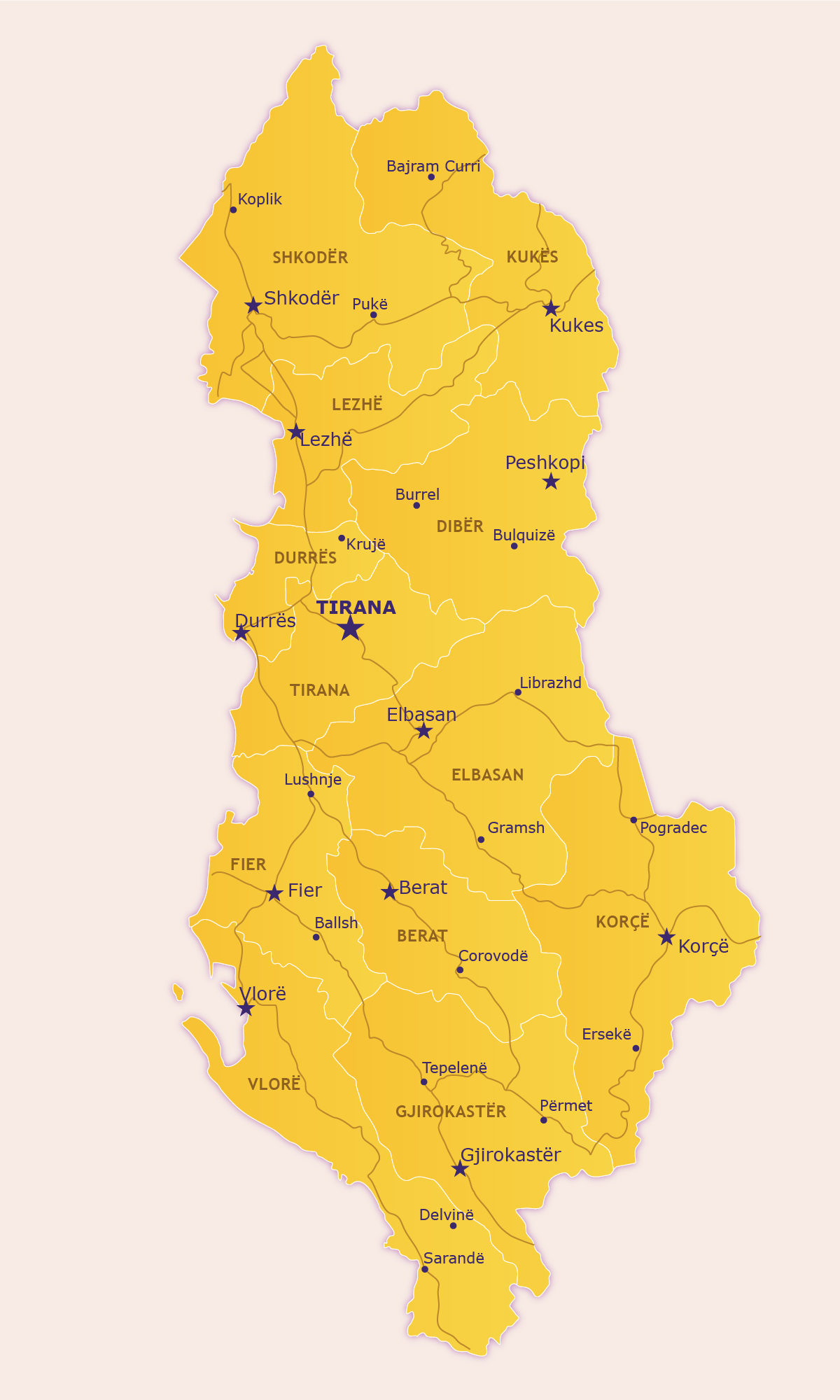
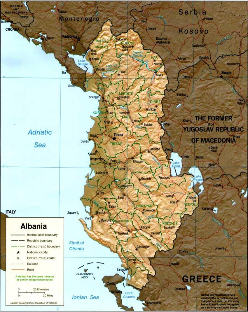
| Albania | Tirana |
| Andorra | Andorra la Vella |
| Armenia | Yerevan |
| Austria | Vienna |
| Belarus | Minsk |
| Belgium | Brussels |
| Bosnia and Herzegovina | Sarajevo |
| Bulgaria | Sofia |
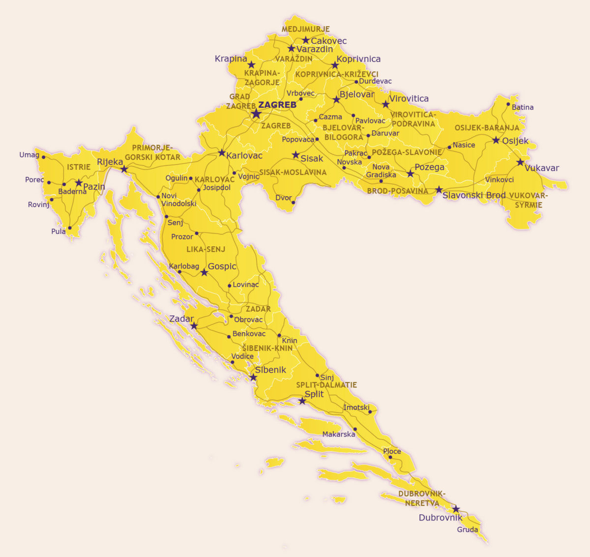
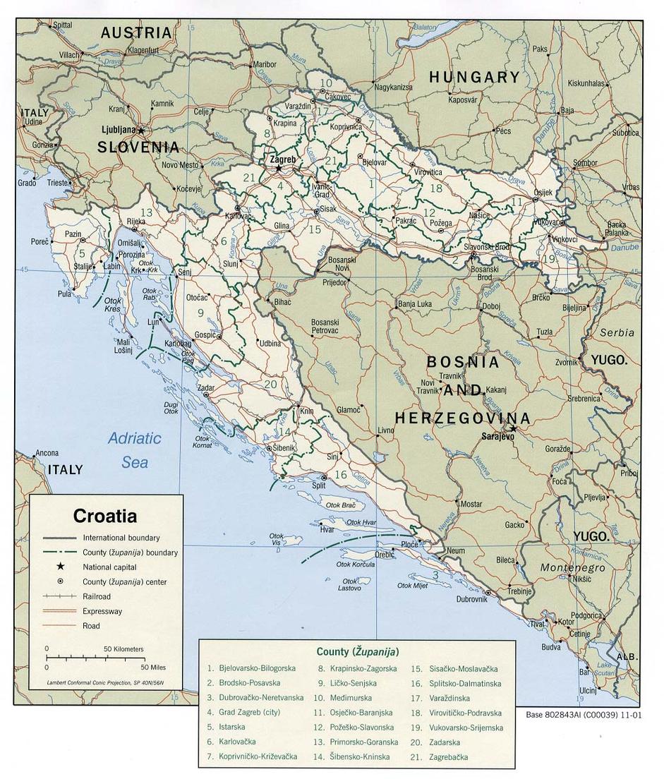
| Croatia | Zagreb |
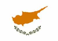
| Cyprus | Nicosia |
| Czech Republic | Prague |
| Denmark | Copenhagen |
| Estonia | Tallinn |
| Finland | Helsinki |
| France | Paris |
| Georgia | Tbilisi |
| Germany | Berlin |
| Greece | Athens |
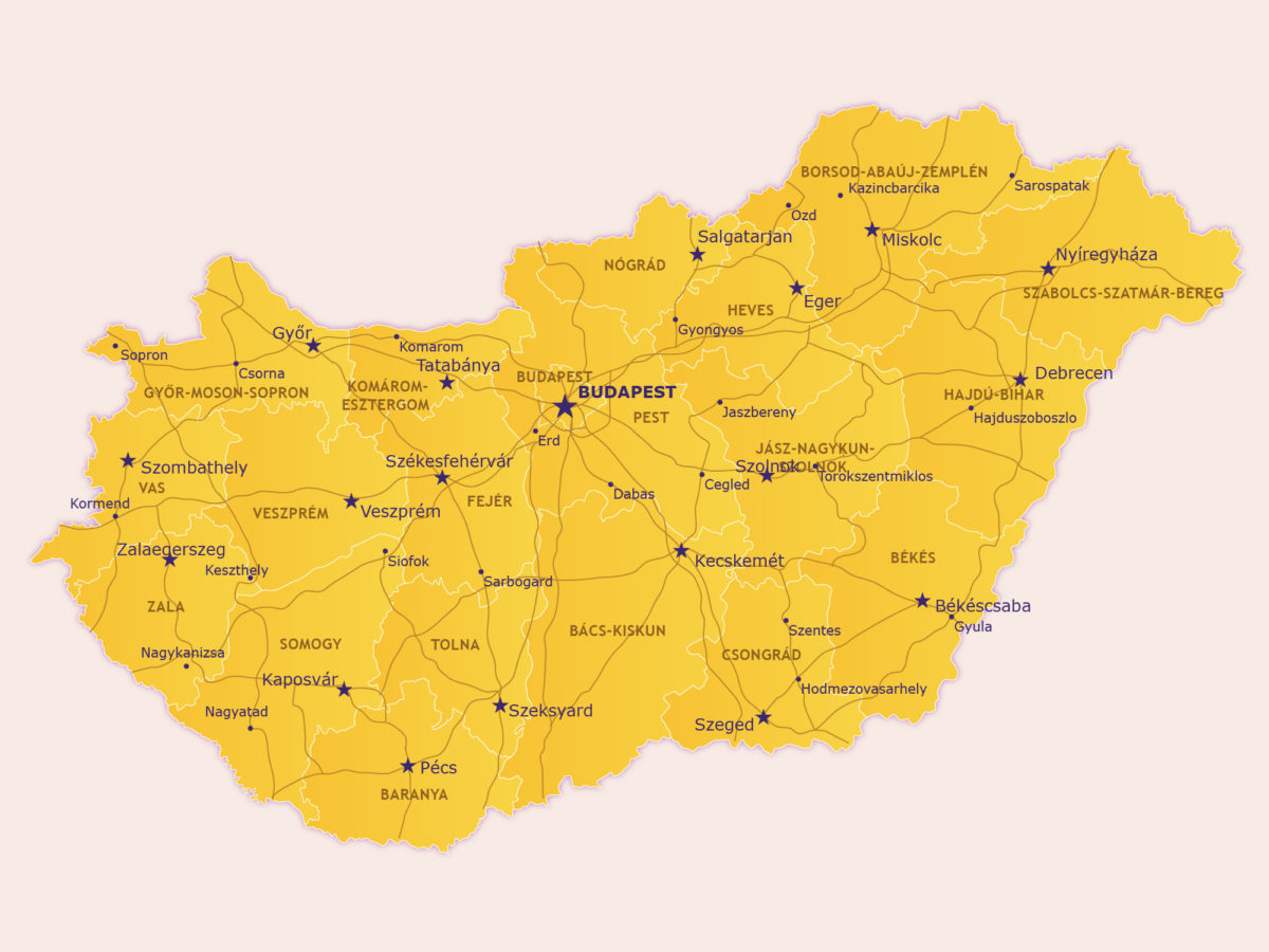
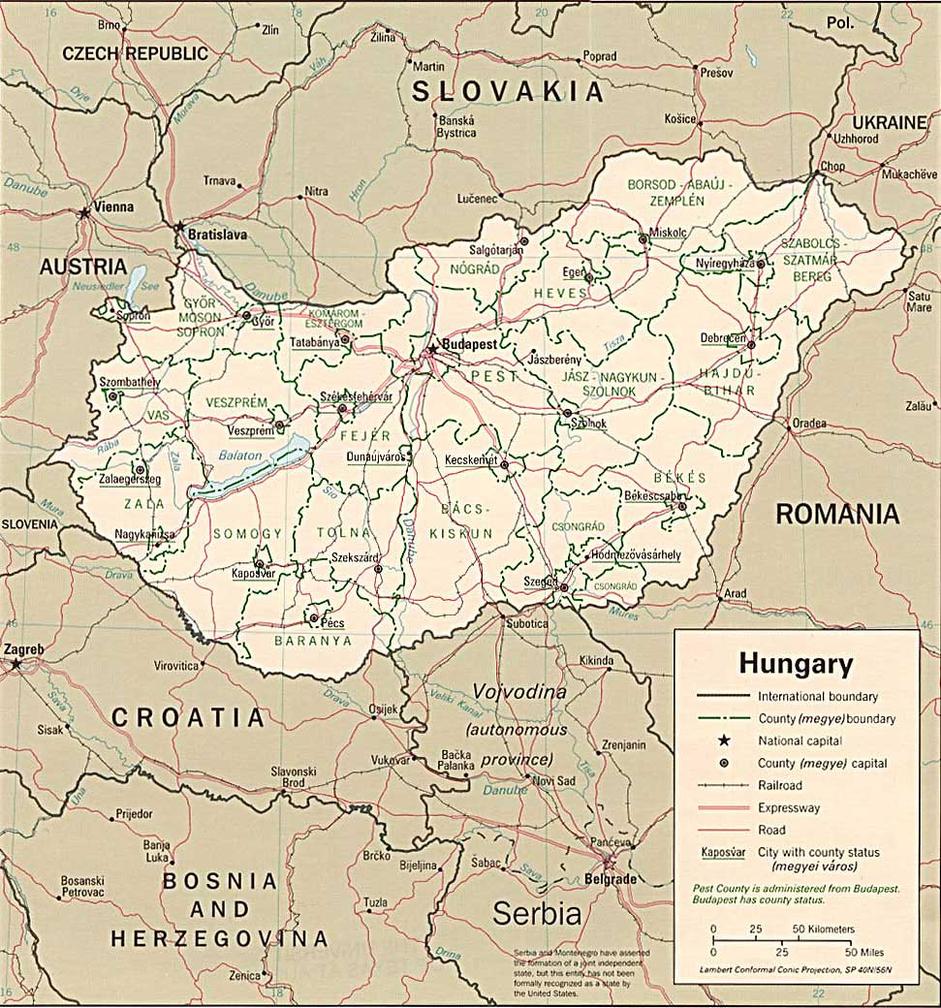
| Hungary | Budapest |
| Iceland | Reykjavik |
| Ireland | Dublin |
| Italy | Rome |
| Kosovo | Pristina |
| Latvia | Riga |
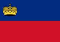
| Liechtenstein | Vaduz |
| Lithuania | Vilnius |
| Luxembourg | Luxembourg (city) |
| Macedonia | (FYROM) Skopje |
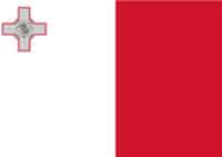
| Malta | Valletta |
| Moldova | Chisinau |
| Monaco | Monaco |
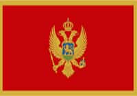
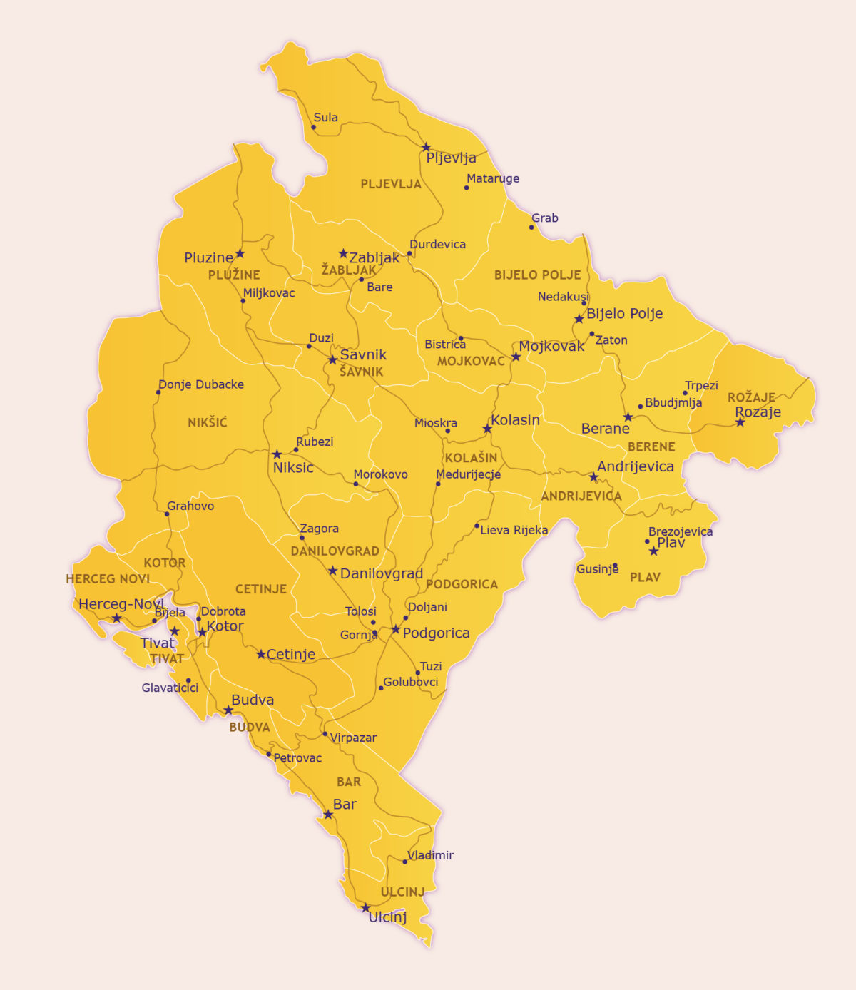
| Montenegro | Podgorica |
| Netherlands | Amsterdam |
| Norway | Oslo |
| Poland | Warsaw |
| Portugal | Lisbon |
| Romania | Bucharest |
| Russia | Moscow |
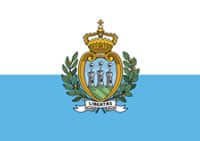
| San Marino | San Marino |
| Serbia | Belgrade |
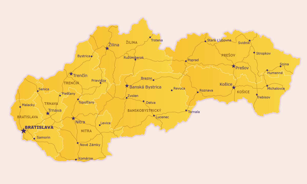
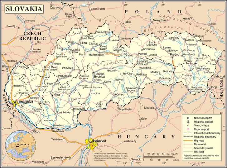
| Slovakia | Bratislava |
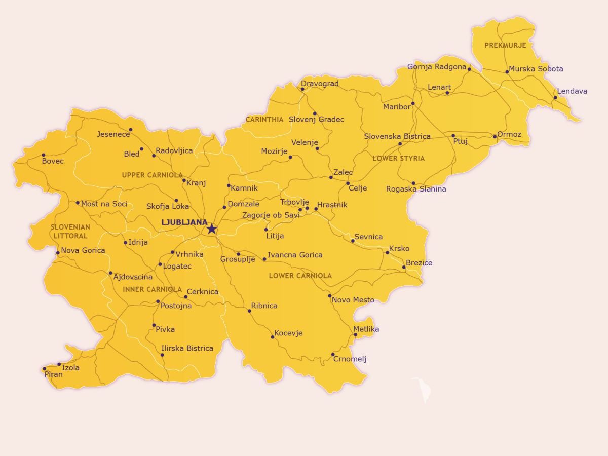
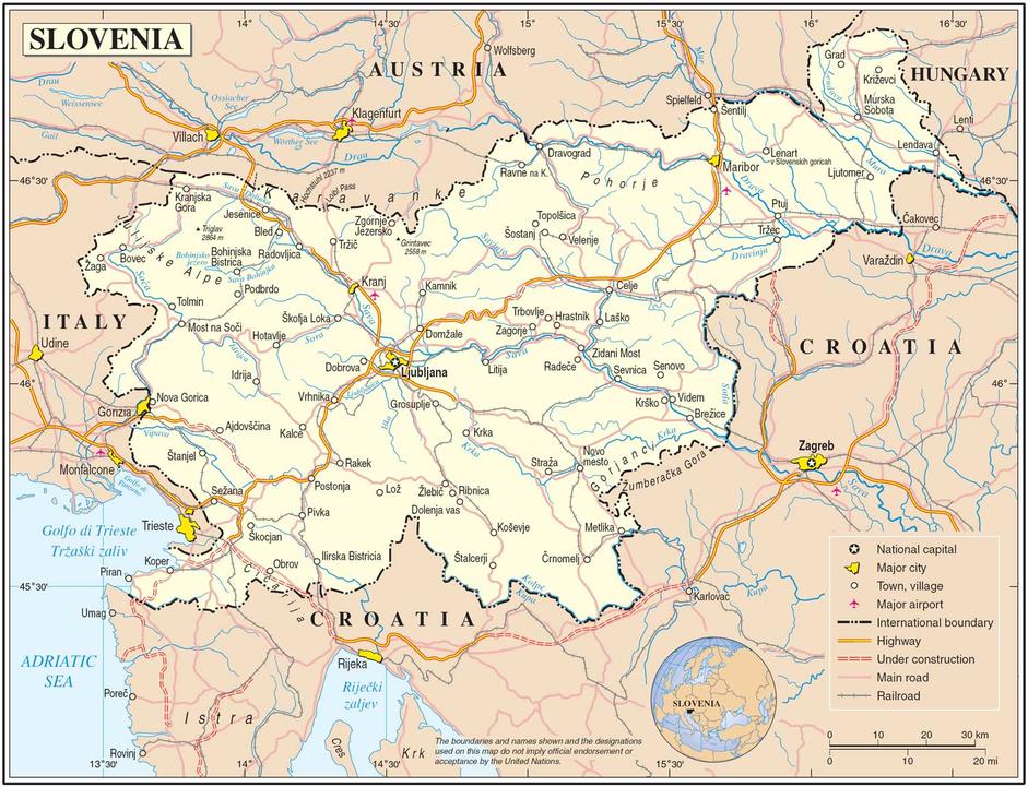
| Slovenia | Ljubljana |
| Spain | Madrid |
| Sweden | Stockholm |
| Switzerland | Bern |
| Turkey | Ankara |
| Ukraine | Kyiv (also known as Kiev) |
| United Kingdom | London |
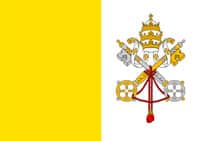
| Vatican City (Holy See) | Vatican City |
Some interesting information about the Continent
We have added a map that is probably our best and largest. On Map of Europe we have termed our political map and although strictly it does not contain everything a political map should have it is close enough and is much easier to read than your standard Political map.
Europe is the sixth largest continent by land mass (approximately 3,997,929 square miles or 10,354,636 square km). Only one continent is smaller and that is Australia. The population is about 739,300,000 individuals, which makes it the world’s third most populated and it boasts some of the oldest civilizations of any continent.
Travelling Europe is one of life’s pleasures and due to the above mentioned civilization age, it boasts one of the oldest tourism industries also. Being so long established Europe caters well for every type of traveller.
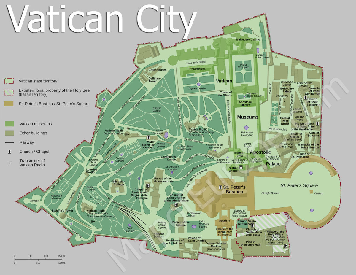
Europe is made up of 20 countries. The smallest is Vatican City, which is virtually only a suburb of Rome. The largest country is Russia, although if we are talking about Western Europe, then that would be France.
So if you are travelling a good map of Europe is necessary. We do live in a time of smart phones that have GPS functions but it is still a good idea to have a paper map of Europe as a backup. They fold up to be quite small, so every backpacker should have on one in her or his backpack. If you find yourself outside of signal range or if the battery in your GPS or phone empties, you still have a way of knowing where you are.
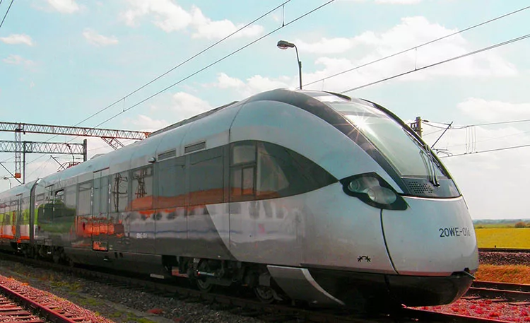
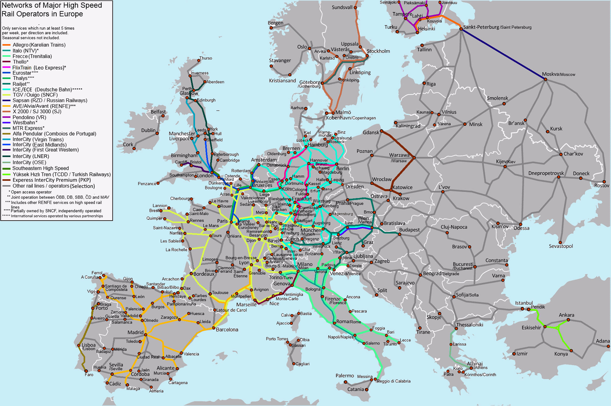
The diversity of cultures in Europe is one of the key reasons it is such a popular tourist destination. If you are looking for lazy summer beaches then Croatia, Greece, Spain and France are just some of the best hot spots for that type of travel. If Skiing is your thing then you might want to get out the maps of Switzerland, Austria, Germany, France and Slovenia. These countries have some of the best skiing in the world and some places you can ski all the year round. A good way to get to these ski fields is to travel by train as the train system in Europe is so good it is hardly affected by snow. buying a Eurail pass is the best way to go and here is a rail map of Europe to show you all the routes and destinations. We have also included a massive Eurail Map.
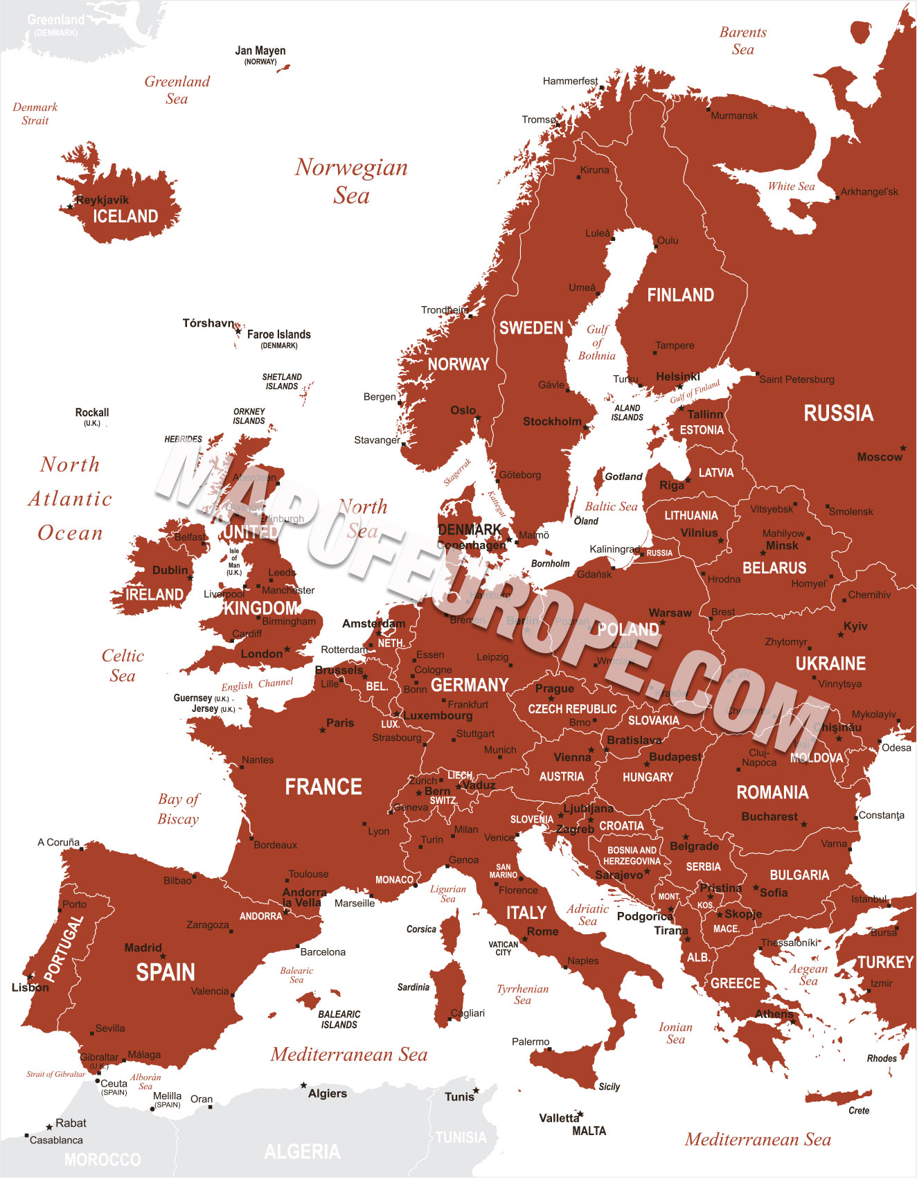
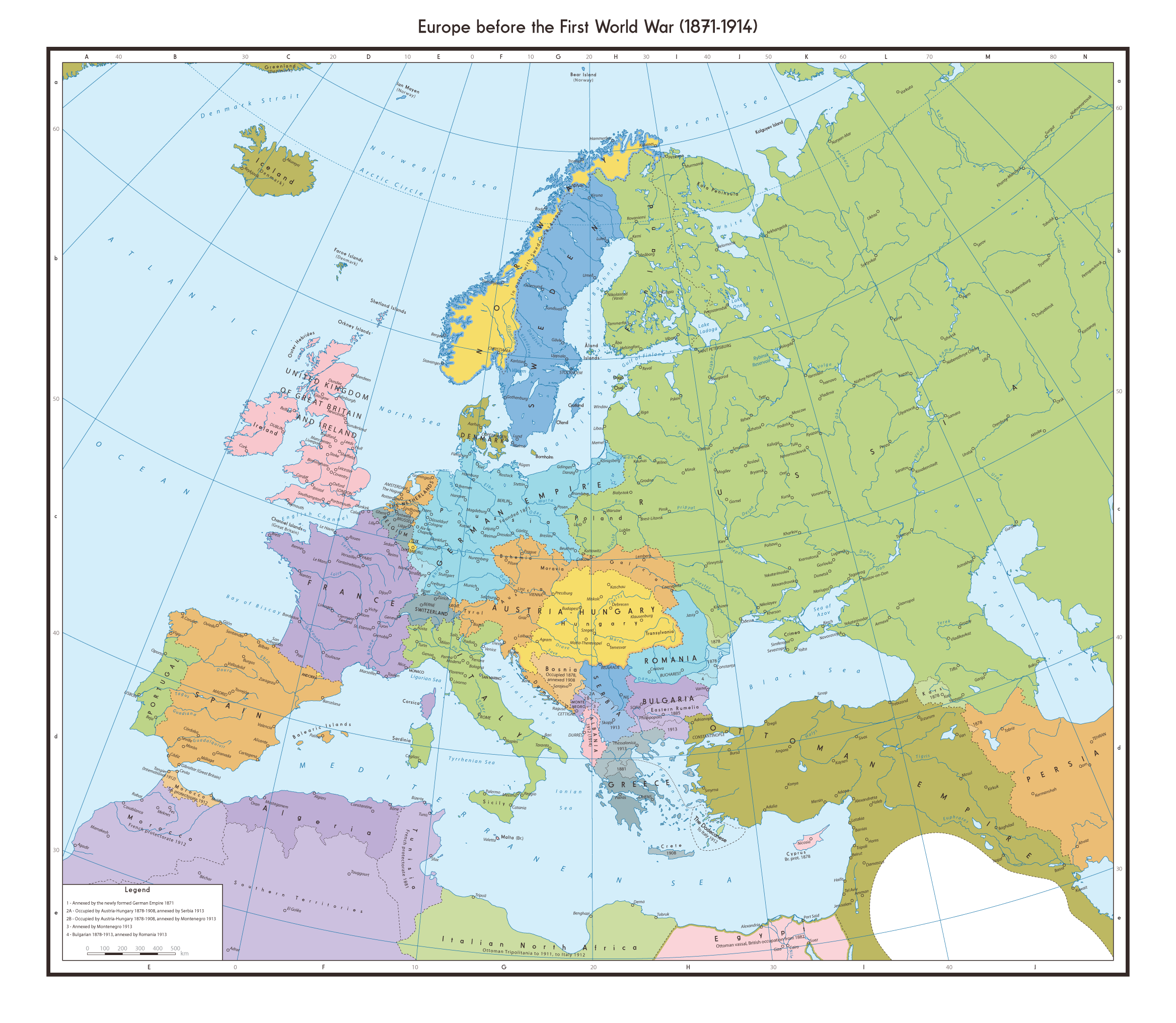
Ye Olde Map of Europe
This is the oldest map of Europe we have on the site. It was the first map uploaded back in the late nineties. Yes MapofEurope.com has been around that long. We originally got this map from the CIA World Fact Book. Yes that site has been around even longer.
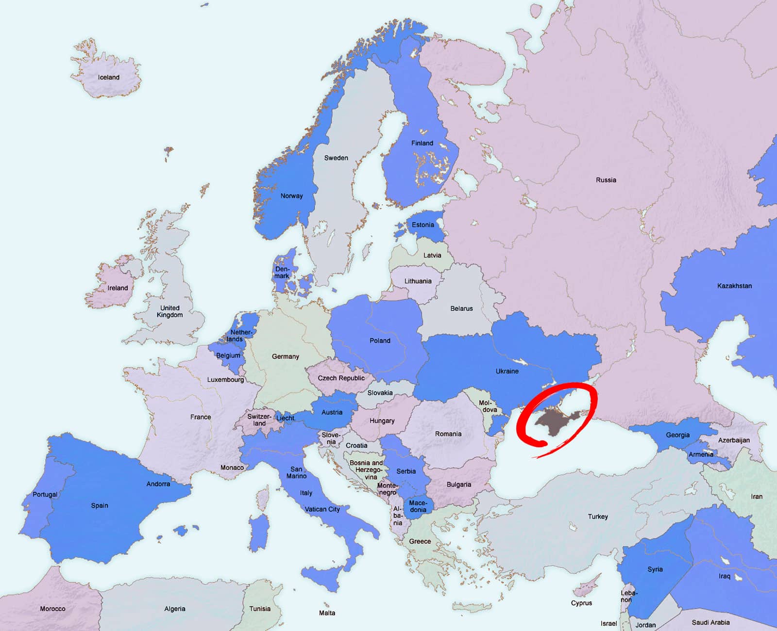
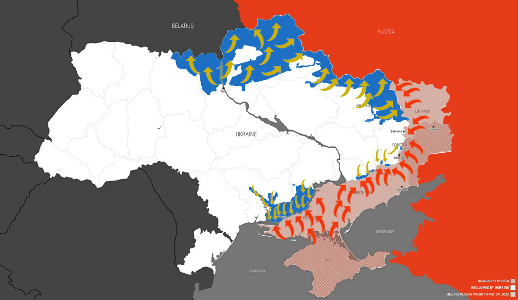
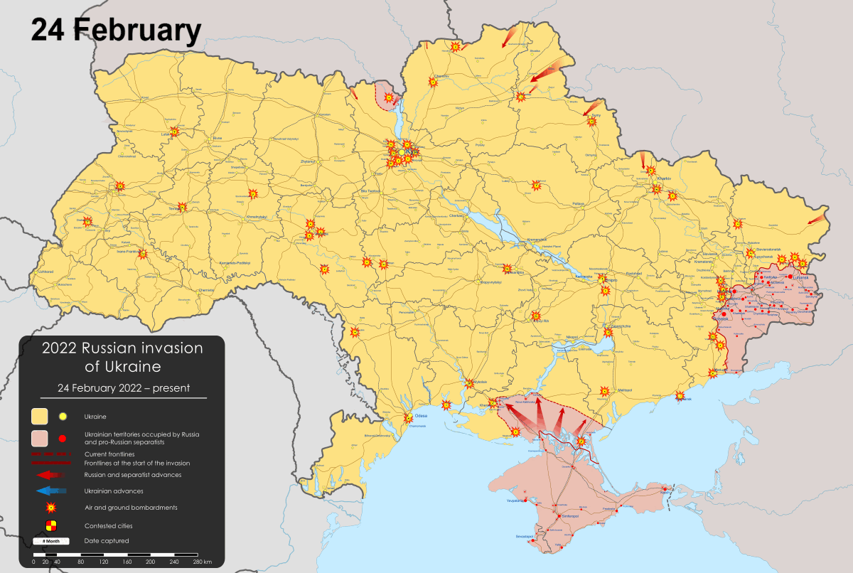
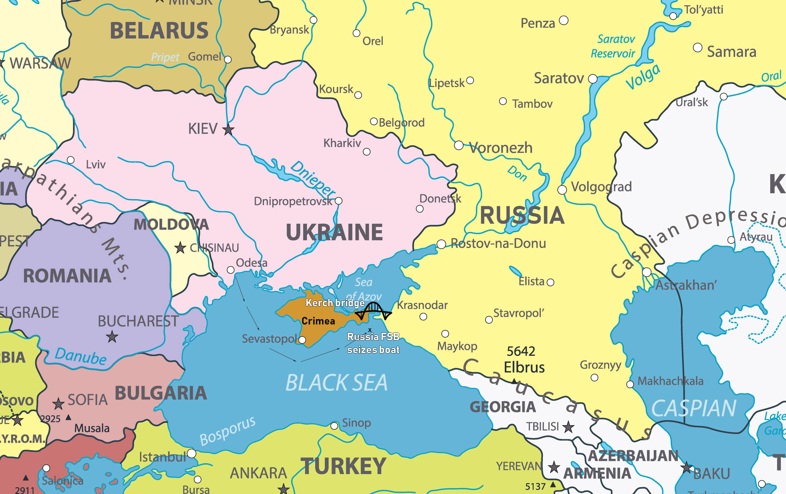
It is interesting to see how much the borders of Europe have changed. Western Europe has pretty much remained the same. While parts of Eastern Europe have changed. Serbia has had Kosova separated from it. Russia has annexed the Crimea from the Ukraine. Montenegro has also separated from Serbia to become the master of its own destiny.


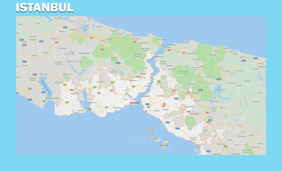
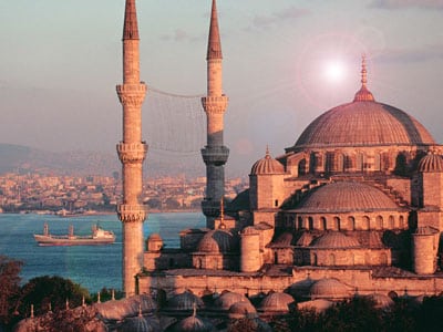 People always wonder about the thing that makes Istanbul, the largest city of Turkey one of the world’s famous cities in Europe. Perhaps it is important that such people travel to Istanbul so that they can experience, first-hand, the various cultural centers and other tourist attractions that exist there. You may not be able to understand why this city is also known as the alpha world city unless you make a personal date with it too. This Turkish city, as it is currently known spans a rich history which has been handed down from one generation to the next. It was initially the capital city of the Roma Empire, then Eastern roman (Byzantine) Empire, then the Latin Empire and finally the Ottoman Empire. During each of these empires, they left significant landmarks that shaped the history, culture, politics and economy of Istanbul.
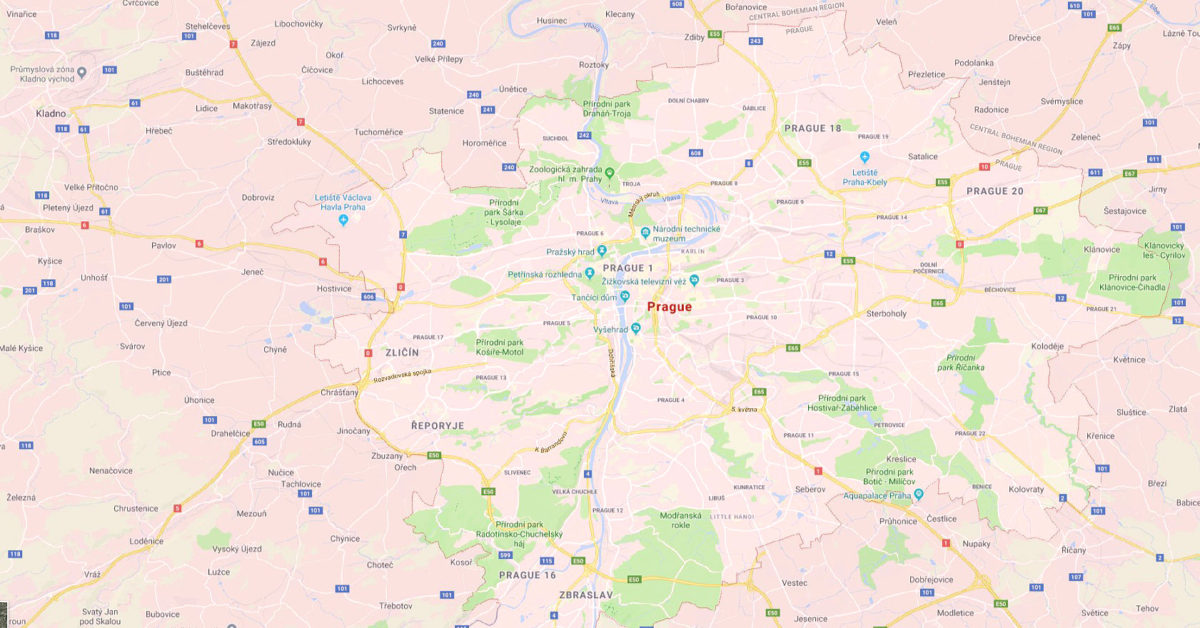
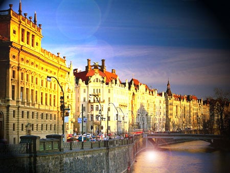 What makes Prague, which is the largest and capital city of the Czech Republic, different from other cities? Is it worth spending your holidays in or is it just an ordinary city with nothing for its visitors to experience? Although the city is popular for its temperate oceanic climate with warm summers, its chilly winters cannot be ignored. Most visitors are expected to exercise their discretion as they make their tour of the city during chilly winters or warm summers. It is impossible to dictate when all people should visit Prague. This is a city that has been in existence since the Gothic through the Renaissance and was at some point the capital of the Holy Roman Empire before the World War I.


