Maps have been an important tool for humans since the beginning of recorded history. They provide a visual representation of the world, helping us to understand the relationships between different places and how they have changed over time. For historians, maps can be an invaluable resource, providing insights into the political, cultural, and economic landscapes of the past. In this article, we will explore the history of Europe through the lens of historical maps, examining how they can help us better understand the continent’s complex and diverse past.
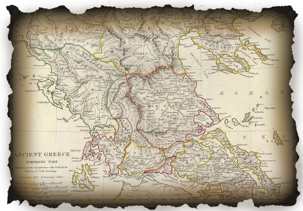
The earliest known maps of Europe date back to ancient Greece, where philosophers such as Anaximander and Hecataeus of Miletus created maps that were primarily symbolic rather than geographically accurate. These early maps were often based on mythology, with the location of mythical creatures and divine figures represented alongside real geographic features such as mountains and rivers. While these maps were not intended to provide accurate geographical information, they nevertheless played an important role in shaping the Greeks’ understanding of their world.
During the Middle Ages, maps became more geographically accurate as cartography developed as a discipline. Maps created during this period tended to be highly stylized and were often used for navigation rather than scholarly study. One of the most famous medieval maps of Europe is the Hereford Mappa Mundi, created in the late 13th century. This map is notable for its ornate decoration and for the way in which it reflects the medieval worldview, with Jerusalem depicted at the center of the map and Europe positioned at the top.
The Renaissance saw a renewed interest in cartography, as scholars sought to create more accurate maps based on empirical data. During this period, maps of Europe became increasingly detailed and accurate, with many of the most famous maps of the period created by the Dutch cartographer Gerardus Mercator. Mercator’s maps, which were first published in the mid-16th century, were notable for their use of the Mercator projection, which allowed for accurate navigation over long distances.
As Europe entered the modern era, maps continued to evolve and become more sophisticated. One of the most important developments during this period was the use of maps to explore and colonize new territories. European explorers such as Christopher Columbus and Vasco da Gama relied on maps to navigate the oceans and discover new lands. Maps were also used to divide up newly discovered territories, as European powers jostled for control of the New World and other parts of the globe.
During the 19th and 20th centuries, maps continued to play an important role in shaping Europe’s history. Perhaps the most significant development during this period was the emergence of the nation-state, which led to the creation of national boundaries and the reshaping of Europe’s political landscape. Many maps from this period reflect the tensions and conflicts that characterized European politics, including maps depicting the shifting borders of Europe during World War I and World War II.
One of the most famous maps of Europe from this period is the 1919 Treaty of Versailles map, which was created to help carve up Europe in the aftermath of World War I. This map reflected the geopolitical realities of the time, with new nations such as Czechoslovakia and Yugoslavia created out of the ashes of the Austro-Hungarian Empire. The treaty and its accompanying maps would have far-reaching consequences, helping to set the stage for World War II and the reshaping of Europe’s political landscape.
In recent decades, digital mapping technology has revolutionized the way we think about maps and their potential uses. Today, historians and scholars have access to a wealth of digital mapping resources, including high-resolution satellite imagery and interactive maps that allow for detailed analysis of geographic data. These tools have made it possible to create highly detailed maps of Europe’s past, providing new insights into how the continent has changed over time.
One area where digital mapping technology has been particularly useful is in the study of urbanization. Maps of European cities from different historical periods provide valuable information about how cities have grown and changed over time. For example, maps of London from the 17th century show how the city expanded rapidly in the wake of the Great Fire of 1666, while maps of Paris from the 19th century provide insights into the city’s transformation under the direction of Baron Haussmann.
Another area where historical maps can provide valuable insights is in the study of migration and population movements. By analyzing maps of Europe over time, historians can gain a better understanding of how people have moved around the continent and how this has affected its cultural and political landscape. For example, maps of the Jewish diaspora in Europe can provide insights into the history of Jewish communities on the continent, while maps of migration patterns during the industrial revolution can shed light on the growth of urban centers and the development of new industries.
Finally, historical maps can be valuable tools for understanding the changing geopolitical landscape of Europe over time. Maps of Europe from different periods can provide insights into how different countries and empires interacted with one another, and how this affected the balance of power on the continent. For example, maps of Europe during the Cold War provide a stark illustration of the division between Eastern and Western Europe, while maps of Europe in the aftermath of the fall of the Berlin Wall show how the continent began to come back together.
In conclusion, historical maps of Europe provide valuable insights into the continent’s complex and diverse past. By analyzing maps from different historical periods, historians and scholars can gain a better understanding of how Europe has changed over time and how this has affected its political, cultural, and economic landscape. From ancient maps based on mythology to modern digital maps, the history of Europe can be traced through the evolution of cartography. Whether exploring migration patterns, urbanization, or geopolitical shifts, historical maps are an essential tool for understanding Europe’s past and present.